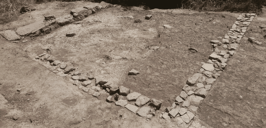
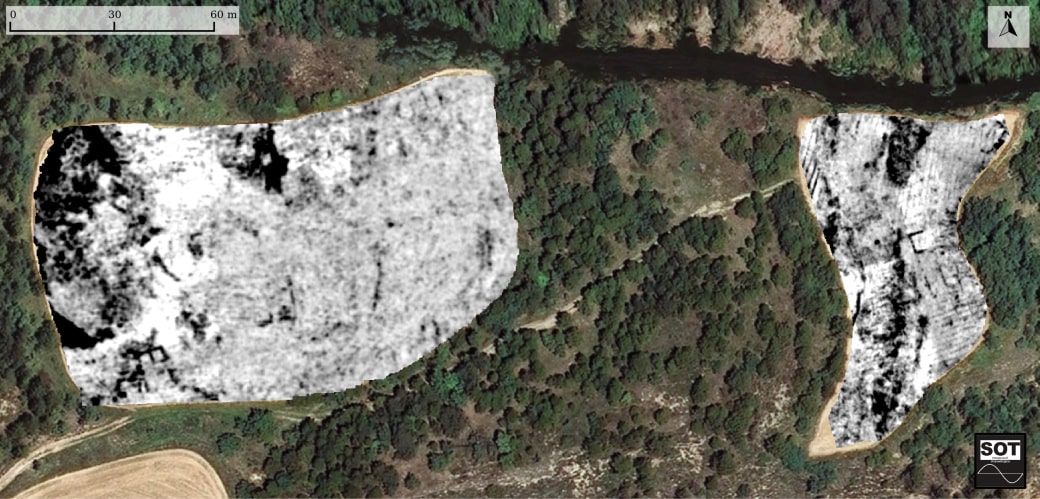
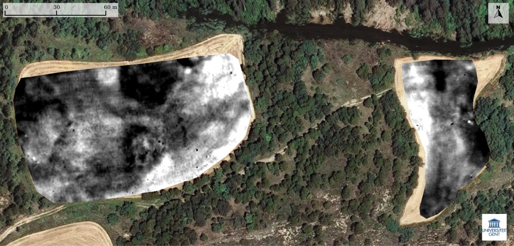
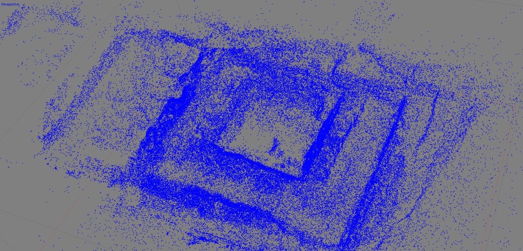
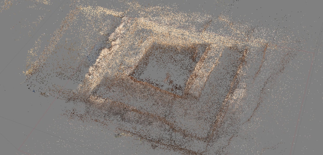
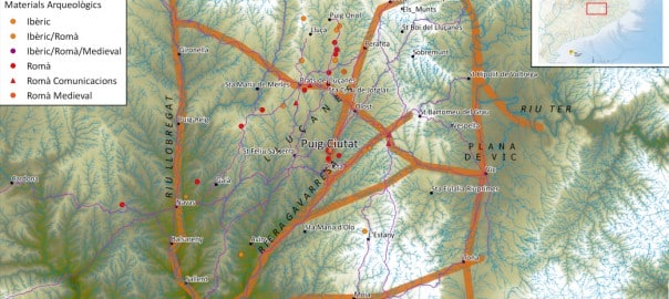
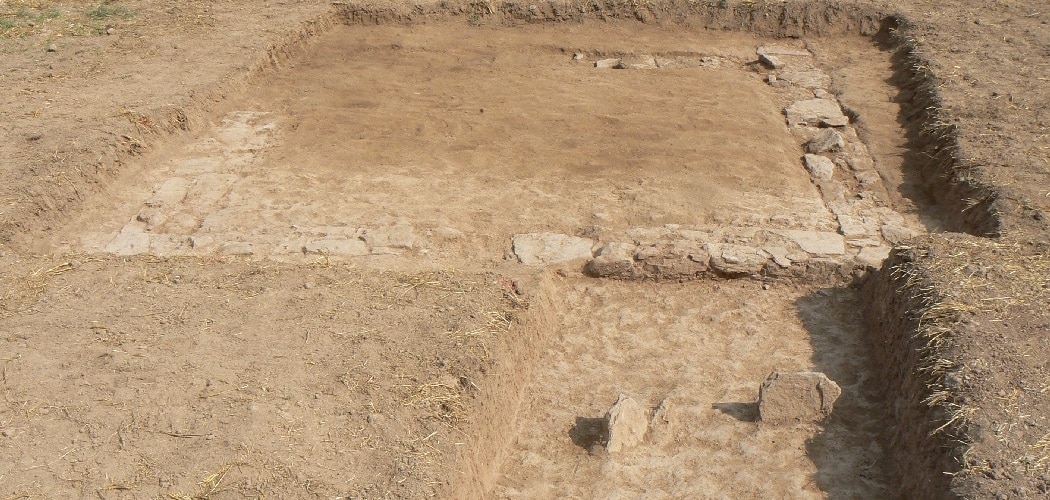
Aquest sondeig es va realitzar amb l’objectiu de confirmar la presència i les característiques d’un edifici de grans dimensions, que havia estat prèviament detectat per les prospeccions geofísiques.
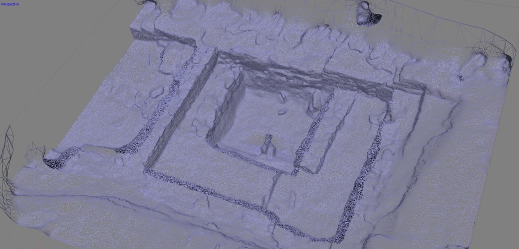
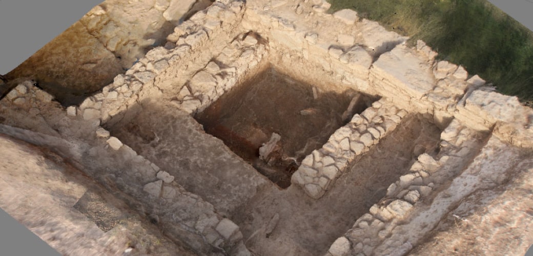
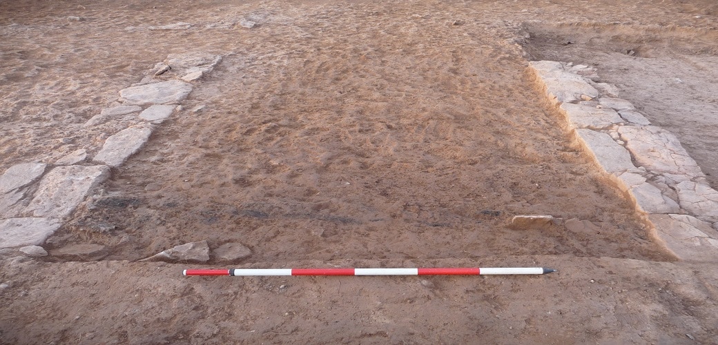
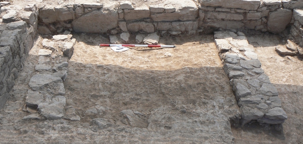
The archaeological excavation revealed a square building, 11 by 11 metres, divided up into various rooms opening onto a central distribution space. This was reached by a passage that communicated with the building’s only entrance, open in the southern façade. The date provided by the ceramic material recovered confirmed that the building belonged to the latest phase of occupation of the settlement, in the Late Roman Republican Period.
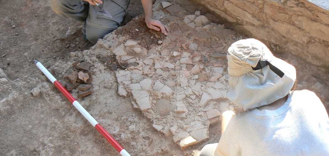
The work revealed that the structure had been heavily affected by farming work in the field in recent times and some of the walls that divided up the complex have not survived. Despite the poor condition of the remains, carbon was found which could have been part of the door latch.
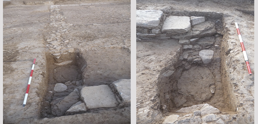
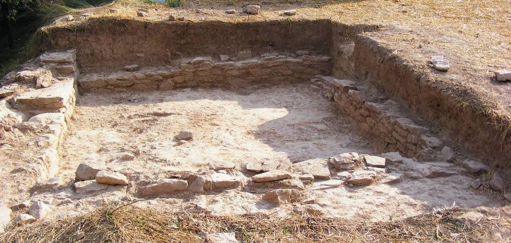
Two surveys performed in the interior of the building showed that it had been looted in ancient times, probably to recover some of the stones from the north and west walls.
Its large size make this building an important one in the settlement’s complex of buildings. According to documentary sources, a building of these characteristics could have been the praetorium, or residence of the Roman camp’s Commander, or the principia, or administrative building. In the case of Puig Ciutat, this building could have fulfilled both functions.
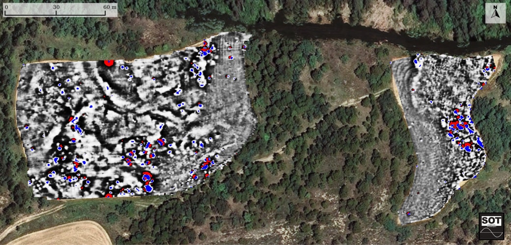
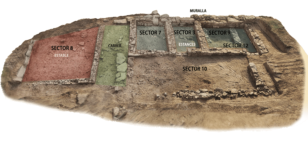
![[left] Drawing of the structures located superimposed on the ground-penetrating radar data. [right] Interpretation of the located structures superimposed on a photograph taken from a drone.](https://www.puigciutat.com/wp-content/uploads/2016/01/Sectors-edifici-11.jpg)
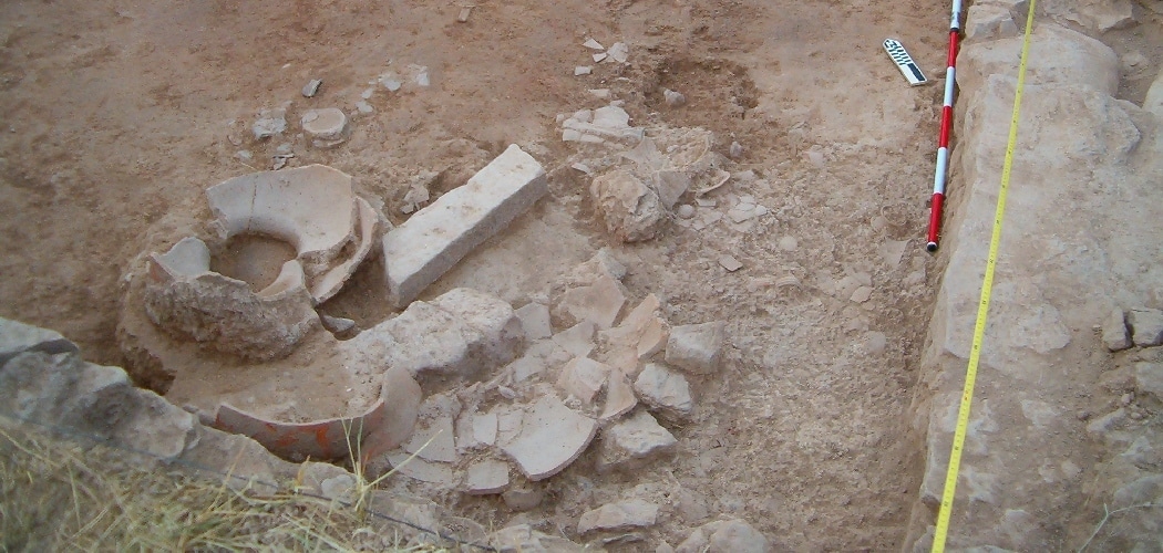
![[left] Various fallen materials (remains of animals, metal objects, etc.) above the living level. [right] Fallen dolium and amphora above the ruins of a ceiling or a first floor](https://www.puigciutat.com/wp-content/uploads/2015/12/foto_7-i-11-copia.jpg)